
return to homepage
Hetton Local History Group - Boundary Heritage Walk Part 2
Point E information 
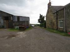
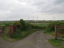
(GR 377 478) Directions to point F ( Point F) GR 375 476 QR code or link to information. Heritage Information Point E The final approach to Carr House Farm uses the distinct track known as Salters Lane. This track is one of a number of similiar tracks in the North East, along which salt was carried on panniers on the backs of horses. The salt originally came from salt pans on the coast where sea water was trapped and then evaporated before the salt was collected. The salt roads, important after the 11th century, allowed an important trade to take place. The salt was sold at inland markets and isolated houses serving a community. The salt was used to preserve meat, fish and other foods, prior to eating.
|

-- info@hettonlocalhistory.org.uk --